

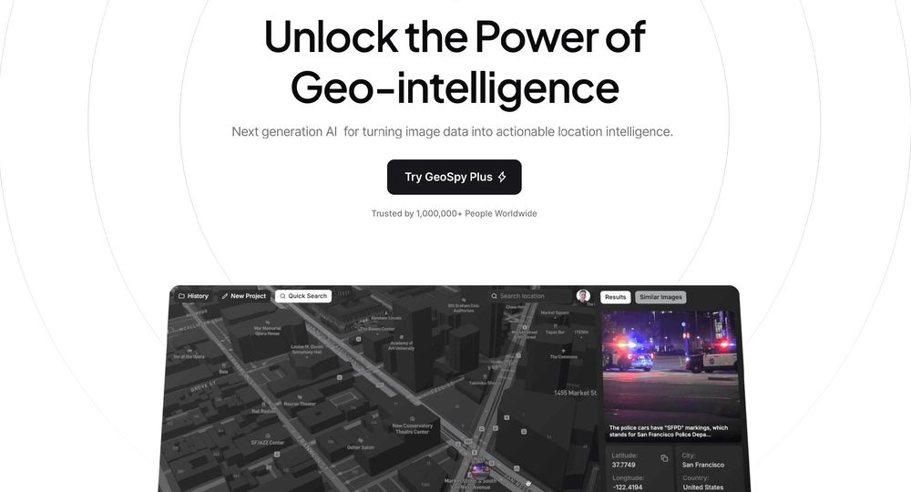
What is GeoSpy?
GeoSpy is a visual intelligence platform that turns ordinary photographs into actionable location intelligence. Using advanced computer vision and geo-estimation models, it can determine where an image was taken using only the pixels in the frame — no EXIF metadata, GPS tags, or other embedded context required.
Key Capabilities
- Geo-Estimation: Converts low-context images into location intel by analyzing visual features alone.
- Precision Targeting: Delivers up to meter-level accuracy for supported cities and countries.
- Property Targeting: Helps pinpoint specific properties and structures within an image.
- No Metadata Needed: Works even when location data has been stripped or was never present.
- Easy-to-Use Interface: Purpose-built for investigators, not data scientists.
Who It's For
GeoSpy is designed for qualified government agencies, law enforcement organizations, and enterprise teams conducting investigations. The platform has reportedly supported over 10,000 cases worldwide, helping authorities locate suspects and subjects in seconds rather than days.
Access and Licensing
GeoSpy is available to qualified government and enterprise organizations. Licensing and pricing details are provided upon request through the official website.
Why It Matters
By turning pixels into intelligence, GeoSpy gives investigators a real-time edge — enabling faster apprehensions and more efficient use of sensitive data in time-critical operations.